What Affects Rates in Twin Falls
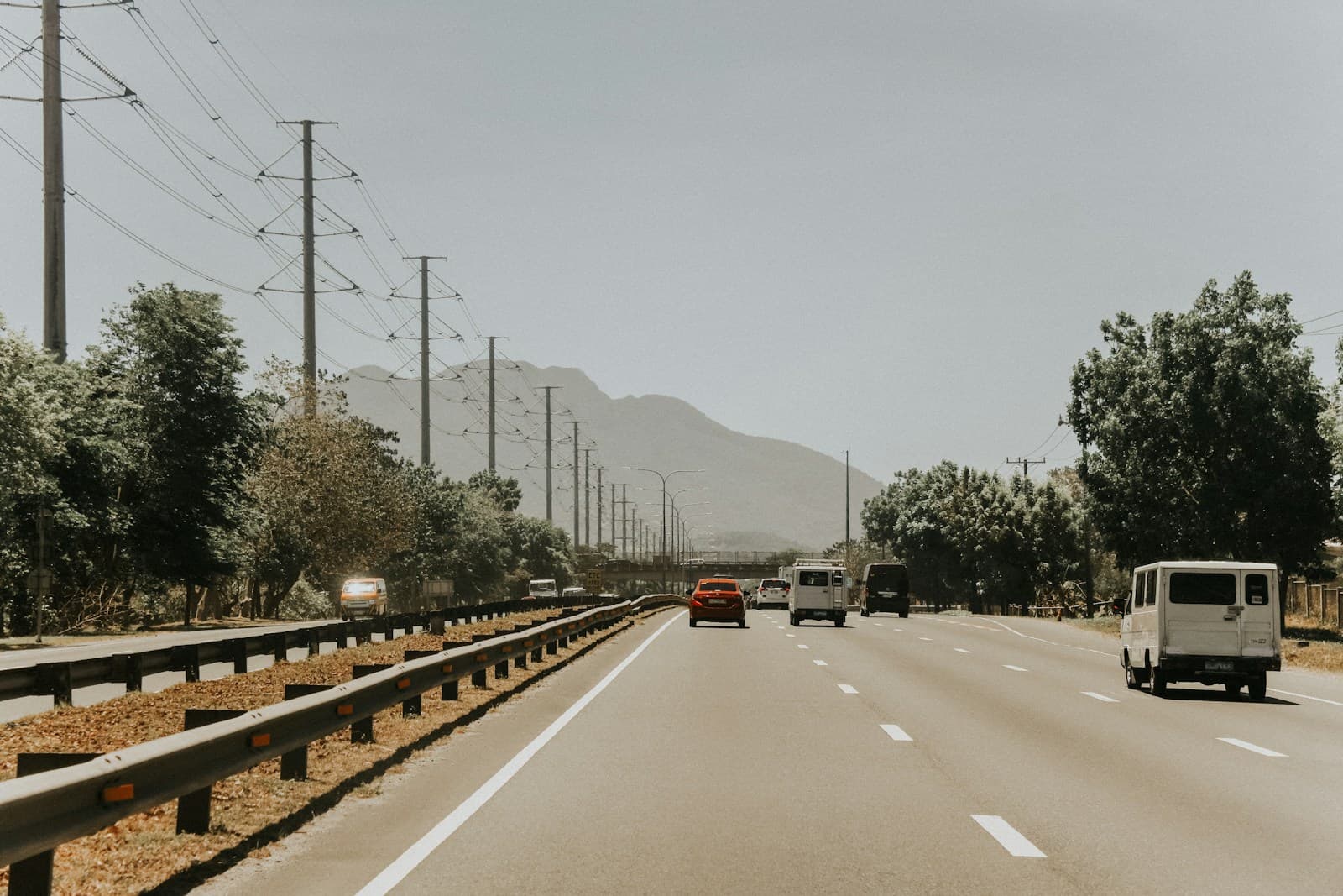
- The Perrine Bridge and canyon rim roads see frequent tourist traffic and distracted driving, particularly during summer months. New drivers navigating the merge zones where US-93 meets Addison Avenue face higher collision risk. Insurers charge 10–20% more for comprehensive coverage in neighborhoods north of the canyon due to accident frequency on these routes.
- The Blue Lakes Boulevard corridor from Addison to Pole Line Road concentrates Twin Falls's retail and dining traffic in a high-turnover parking environment. First-time drivers working or shopping here face elevated risk for parking lot incidents and rear-end collisions during peak hours. Collision coverage costs reflect the dense commercial activity along this strip.
- Twin Falls serves as a hub for surrounding agricultural operations, bringing heavy equipment and seasonal workers onto Highway 30, Kimberly Road, and rural connectors. New drivers unfamiliar with sharing roads with farm machinery face unique hazards. Policies here include considerations for rural highway exposure that don't apply in purely urban markets.
- Twin Falls sits on the Snake River Plain where winter winds create black ice conditions on bridges and overpasses, particularly the Perrine Bridge and I-84 interchanges. First-time drivers without winter driving experience see significantly higher comprehensive claims during November through February. Insurers adjust rates based on garaging location and whether you have winter tire discounts available.
Compare car insurance for first-time drivers
Rates are high for new drivers — but the right carrier and discounts can make a real difference.
Get Your Free QuoteCoverage Recommendations
Cost estimates are based on available industry data and vary by driver profile. These are not insurance quotes.
Liability Insurance
Critical for new drivers navigating Blue Lakes Boulevard's heavy commercial traffic and tourist congestion near Shoshone Falls during peak season.
$40–$95/moEstimated range only. Not a quote.
Full Coverage
Recommended if financing a vehicle or driving I-84 commutes to Jerome or Burley where multi-car pileups occur during winter storms.
$95–$175/moEstimated range only. Not a quote.
Comprehensive Coverage
Addresses Twin Falls's frequent hail events on the plain and deer strikes on Highway 30 and Kimberly Road after dark.
$25–$50/moEstimated range only. Not a quote.
Uninsured Motorist Coverage
Idaho's uninsured rate hovers near 10%, with higher concentrations in agricultural employment sectors common around Twin Falls.
$15–$35/moEstimated range only. Not a quote.